- BY Kevin Barry BSc(Hons) MRICS
- POSTED IN Latest News
- WITH 0 COMMENTS
- PERMALINK
- STANDARD POST TYPE
Why the Strangford Lough Crossing Is Now a Matter of Public Resilience
After sixty years of proposals, rejections and inaction, the case for a permanent fixed crossing at Strangford has never been stronger — or more urgent.
Most of the public conversation about the Strangford Lough Crossing has focused on economics, healthcare access, and community connectivity. Those arguments remain powerful and are firmly evidenced. But there is a separate and largely unspoken dimension to this campaign that has not yet received the attention it deserves: the question of infrastructure resilience — the capacity of the Ards Peninsula and south-east County Down to function when conditions deteriorate, whether those conditions are climatic, logistical, or strategic. This post sets out, for the first time in direct terms, why a permanent crossing at Strangford matters on those grounds.
1. A Peninsula With One Road In and One Ferry Out
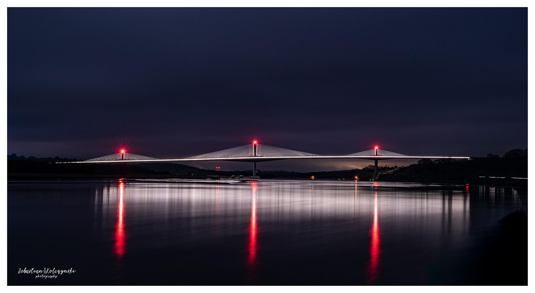
The Ards Peninsula is connected to the wider road network primarily by the A20 Portaferry Road, which follows the western shoreline of Strangford Lough from Portaferry northward through Kircubbin, Greyabbey and on to Newtownards. The southern tip of the Peninsula, where the town of Portaferry is located, has no alternative road connection to County Down. It depends entirely on the A20 for land access and on the Strangford Ferry for the short crossing to Strangford village and the road network beyond.
In February 2026, the Northern Ireland Assembly held its second Adjournment debate within recent months on the condition of the A20 (Northern Ireland Assembly, Hansard, 3 February 2026, Vol. 188). The record is instructive. During Storms Bram (December 2025) and Chandra (January 2026), the A20 was closed due to flooding and wave overtopping. The Minister for Infrastructure, Liz Kimmins MLA, confirmed in that debate that reactive sea defence repairs had cost approximately £173,700 over five years and that Storm Bram alone had caused an estimated £650,000 worth of damage to coastal defences in County Down.
Michelle McIlveen MLA, a former Minister for Regional Development who established the Coastal Forum during her tenure, described the route as ‘especially vulnerable to tidal surges, wave action and rising sea levels’ and acknowledged that alternative routes within the Peninsula are ‘often unsuitable for the traffic diverted on to them’ (Hansard, 3 February 2026, Vol. 188). Harry Harvey MLA noted that a bus full of schoolchildren had been left stranded, and that floodwater had reached two to three feet in places with coastguard attendance required (ibid.).
The structural position is therefore this: when the A20 closes, the ferry is more critical than ever as the only remaining route out of Portaferry. Yet when storms cause the A20 to flood, those same conditions frequently disrupt ferry operations. Both lifelines become simultaneously unreliable under the precise conditions where reliability matters most. Matthew O’Toole MLA placed this on the record directly in the same debate: ‘storm disruption that disrupts the A20 might often disrupt the ferry crossing from Portaferry to Strangford’ (ibid.).
A fixed crossing does not close in a storm. It does not have restricted operating hours. It does not depend on a vessel being mechanically available, or on a crew complement being met, or on fog lifting. The HITRANS Corran Fixed Link Study (HITRANS, 2024), which assessed a comparable short water crossing in the Scottish Highlands, identified that a fixed link ‘would provide efficiency, journey time reliability and resilience benefits’ and noted that a ferry service ‘is suspended due to weather’ in a way that a fixed crossing cannot be. The structural resilience argument applies with equal force at Strangford.
2. The A20 Cannot Be Defended Indefinitely
The A20 is a masonry sea wall road. The Minister confirmed to the Assembly that the main coastal defence is ‘a masonry wall, ranging in height from 0.3 metres to 0.7 metres’, with rock armour placed reactively after storm events (Hansard, 3 February 2026, Vol. 188). The Department for Infrastructure has confirmed that ‘managed retreat’ for an A-class road is not deemed appropriate. It therefore faces an open-ended commitment to defend a low-lying coastal alignment against an increasingly hostile tidal and storm environment.
The Northern Ireland Executive’s third climate change adaptation programme had not been agreed at the time of the February 2026 debate, a point raised in the Assembly by Robyn Lyttle MLA (ibid.). The Department for Infrastructure has confirmed its lead role in the strategic coordination of severe weather emergencies under its Major Emergency Response Plan (DfI, Corporate Governance Report, 2024/25). Storm Eowyn in January 2026 alone generated over 3,000 reported road incidents and obstructions (ibid.).
No serious transport planner, engineer, or climate adaptation specialist would design a peninsula transport solution with a single low-lying coastal road and a timetabled ferry as its only connections. That is, however, the current position. A permanent crossing at Strangford, located inland of the lough’s narrowest point, is not exposed to the same coastal dynamics as the A20. It would provide what the A20 structurally cannot: a connection that operates independently of tide, swell, and storm overtopping.
3. Emergency Service Access: The Unspoken Constraint
A community connected to the rest of Northern Ireland by a single road and a timetabled ferry presents a challenge for emergency planning that has received insufficient public attention. The consequences of the current arrangement are most acute not in the daily commute but in the scenarios that planning professionals are required to consider: rapid evacuation, mass casualty incidents, major infrastructure failure, or the need to move specialist personnel and equipment at short notice.
The ferry operates on a published timetable. The last sailing from Strangford to Portaferry is at 22:45 on weekdays and 23:15 on Saturdays and Sundays, with no service on Christmas Day (Strangford Ferry Service Strategic Review Report, March 2013, Department of Finance, FOI reference DOF-2024-0440). Outside those hours, emergency access from the south-east requires the full road circuit of the lough via Downpatrick, Ballynahinch, and Newtownards — a journey of approximately 75 kilometres. The Open Letter to Health Minister Mike Nesbitt MLA (18 October 2024, Quintin QS) recorded that this diversion represents an average of 67 additional minutes of emergency response time.
In the event of a major emergency at the tip of the Ards Peninsula requiring the deployment of heavy plant, specialist vehicles, or large volumes of personnel over an extended period, the ferry imposes both a capacity constraint and a scheduling constraint. There is no provision for unscheduled sailings that would not significantly disrupt the regular service. DfI’s rejection of Councillor Boyle’s request for a morning sailing (COR-0002-2026, 22 January 2026) confirmed this limitation in formal correspondence.
A fixed crossing changes the emergency calculus entirely. It does not require scheduling. It does not have a vehicle capacity per sailing. It does not cease to operate at 11 o’clock at night. These are not abstract considerations. They are the differences between managed response and logistical crisis.
4. Strategic Connectivity and the Wider Network
The Strangford Lough Crossing Campaign has consistently focused on civilian infrastructure, and rightly so. The economic, healthcare, and social arguments are compelling in their own right and are fully evidenced in the campaign’s published materials. It is, however, worth noting — without over-statement — that fixed infrastructure which provides resilient, all-weather, 24-hour connectivity between two parts of a region has characteristics that timetabled, weather-dependent ferry services do not.
The United Kingdom’s National Infrastructure Commission and the equivalent bodies across these islands have consistently identified network resilience — the capacity of a transport system to continue functioning under adverse conditions — as a first-order infrastructure objective. The Ards Peninsula, with a population of approximately 40,000 people (Census of Population 2021, Northern Ireland Statistics and Research Agency), is currently connected to that national network by a route that has been described in the Assembly as closing ‘every time that we have bad weather’ (Hansard, 3 February 2026, Vol. 188).
The comparative evidence from the HITRANS Corran Fixed Link Study is again relevant: it identified that ‘in the event of a road closure incident between Corran and Fort William, a fixed link would more readily allow the peninsula to be used as a diversionary route, the current diversionary route being several hours long’ (HITRANS, 2024). Precisely the same logic applies at Strangford. A fixed crossing would create a genuine road circuit of Strangford Lough, providing route redundancy across the entire network in the east of Northern Ireland.
5. Climate: The Lobby That Has Been Quiet — and Why That Should Change
Environmental advocacy organisations have not been prominent voices in the Strangford Lough Crossing debate. This reflects a reasonable caution about a crossing in a designated Special Area of Conservation and Area of Special Scientific Interest. The concern is understandable and any serious feasibility study would need to engage with it rigorously.
However, the environmental case for a crossing is materially stronger than it may first appear, and it deserves to be made clearly. The current ferry service burns diesel. Vehicles queue for the ferry, generating standing emissions. Anyone travelling the full alternative route by road — Portaferry to Strangford via Downpatrick, 75 kilometres — generates emissions across a significantly longer journey. The Strangford Lough Crossing Campaign’s own analysis, drawing on traffic modelling, estimates annual CO2 savings of the order of 45,000 tonnes by Year 30 under a central demand scenario, based on journey reduction from 75km to an eight-minute crossing and the elimination of ferry diesel operations (SLC Advocacy Toolkit, 2025).
A bridge designed to the highest current environmental and ecological standards — with elevated span clearance to minimise marine habitat disruption, provisions for cycling and walking, and biodiversity net gain commitments — would demonstrably reduce the carbon footprint of travel in this part of Northern Ireland. The environmental lobby’s silence on this question to date is understandable but is not a permanent feature of the debate. As the feasibility argument gains traction, the environmental case for a crossing — carefully and honestly made — will form a significant part of it.
The Department for Infrastructure’s Active Travel Delivery Plan, the Pivotal Public Policy Forum report Delivering on Active Travel (2024), and the Sub-Regional Economic Plan Technical Annex (Department for the Economy, October 2024) all emphasise carbon reduction as a first-order transport policy objective. A crossing with active travel provision would align with each of these frameworks. The absence of such provision in the current situation — no cyclist or pedestrian can currently cross Strangford Lough at this point without adding 75km to their journey — is itself an active travel and carbon argument.
6. Sixty Years: The Cost of Inaction
The debate about a fixed crossing at Strangford did not begin with this campaign. PRONI records document proposals stretching from the nineteenth century: the Marquis of Downshire’s toll bridge proposal circa 1840-1860 (PRONI reference D/1508); an iron suspension bridge estimated at £25,000 in 1875 (PRONI reference D/671); a steel arch bridge assessed at £150,000 in 1928 (PRONI reference FIN/12); a cantilever bridge with full engineering blueprints in 1938 (PRONI reference RG/11); and the most well-documented episode — the barrage and bridge scheme of 1959 under Minister of Development Captain Terence O’Neill, in which a suspension bridge was explicitly costed at £2.5 million before being rejected as ‘too expensive’ in favour of a barrage proposal that was subsequently abandoned (PRONI references COM/4/1 and DEV/2/45, declassified 2001).
In 1972, a pre-stressed concrete bridge was assessed at £12 million before being abandoned amid the power-sharing collapse (PRONI reference RG/14). In 1987, an immersed tube tunnel was rejected under the EU Special Protection Area designation (PRONI reference TAX/8). In the late 1990s, Ards Borough Council submitted a £50 million Lottery bid for a high-level bridge, rejected on heritage grounds (PRONI reference D/3862).
A local resident captured the accumulated frustration precisely in the Strangford Lough Crossing Campaign survey (November 2024, 458 respondents): ‘Had a bridge been the initial solution in the 60s, the council may be in profit rather than having to subsidise a broken-down service each year.’ Another respondent noted: ‘Locals argued for a bridge back in the 1960s. The ferry was a compromise.’
Each rejection was individually defensible. Collectively, they represent sixty years of deferred infrastructure investment — a period during which the Cleddau Bridge in Wales opened in 1975, replacing a ferry on a comparable crossing and generating a twenty-fold increase in traffic over forty-nine years (Cleddau Bridge traffic data, as analysed for the SLC campaign). The vessel that now operates the Strangford crossing — MV Portaferry II — was originally built for the Cleddau crossing. The region whose ferry was replaced by a bridge gifted Northern Ireland its ferry. Northern Ireland’s equivalent bridge has still not been built.
7. What Is Being Asked For
The Strangford Lough Crossing Campaign is not asking for a bridge to be built. It is asking for a TAG-compliant feasibility study to be commissioned — an independent, properly resourced assessment of whether a permanent crossing is viable, what it would cost, what it would deliver, and under what conditions it should be pursued. The estimated cost of such a study is in the range of £750,000 to £1 million. That is less than the cost of reactive repairs to the A20 coastal defences following a single storm. It is worth noting, for clarity, that the Strangford Ferry is subsidised by the Department for Infrastructure from central government funds — not by the local councils on either side of the lough. The net annual cost to the public purse is approximately £2.09 million, based on operating costs of approximately £3.52 million against fare income of approximately £1.43 million (Freedom of Information disclosure DFI-2024-0366). The burden falls on the taxpayer, not the ratepayer; and it falls regardless of whether the ferry runs at capacity, in fair weather, or at a time of day when communities actually need it.
The campaign’s four asks are: direct Ministerial engagement with Minister Kimmins MLA to commission a feasibility study and explore Shared Island Initiative co-funding; a Parliamentary or Assembly Question to formalise the Minister’s statement of 3 February 2026 (‘why not? I am happy to keep that under review’, Hansard, Vol. 185); formal council resolutions from both Ards and North Down Borough Council and Newry, Mourne and Down District Council backing the feasibility study; and identification of the Strangford Lough Crossing in the Eastern Transport Plan 2035 as a scheme requiring further assessment. Significant progress has been made on Ask 3 and Ask 1: Ards and North Down Borough Council passed its Full Council resolution in late March 2026; Newry, Mourne and Down District Council is expected to confirm its equivalent resolution by mid-April 2026. Separately, a meeting between Chris Hazzard MP and Minister Kimmins MLA has been sought, with Ask 1 — a Ministerial direction to DfI to commission an independent feasibility study — as the central objective of that engagement.
As of late March 2026, every political party with elected representation in the area — DUP, Sinn Féin, Alliance, and SDLP — has formally called for an independent feasibility study into a permanent crossing. Ards and North Down Borough Council passed its Full Council resolution last week; Newry, Mourne and Down District Council is expected to follow by mid-April 2026, completing the bi-council mandate that spans both sides of the lough and both council areas directly affected by the crossing. Chris Hazzard MP (South Down, Sinn Féin) has sought a meeting with Minister Kimmins MLA specifically to advance the feasibility study ask. The case has also been placed formally before the Secretary of State for Northern Ireland (MC/25/62), the Irish Government (DOTTM-2511858-2025), and the Department for the Economy (INV-0248-2025).
Conclusion
The arguments for a Strangford Lough Crossing have never been solely about convenience or economic growth, though those arguments are real and substantial. They are also about the most basic obligation of infrastructure planning: ensuring that communities can function, that emergency services can reach them, and that the transport network on which they depend does not fail precisely when conditions are worst.
The A20 is vulnerable. The ferry is timetabled, weather-dependent, and capacity-constrained. The alternative road circuit is 75 kilometres. After sixty years of proposals, deferrals, and reactive spending on a road that multiple Assembly Members have described as closing in every significant storm, the question is not whether a feasibility study should be commissioned. The question is why it has not been commissioned already. Every party with an elected mandate in the area has now formally called for one. Both councils on either side of the lough are formally on record, or will shortly be so. A serving Member of Parliament has sought a direct meeting with the Minister to make that case. The political conditions for a Ministerial direction to DfI have not been stronger at any point in the sixty-year history of this question.
Strangford Lough Crossing Campaign | www.strangfordloughcrossing.org | mail@kevinbarryqs.com
Kevin Barry BSc(Hons) MRICS is a Chartered Quantity Surveyor based in Portaferry, Northern Ireland, and leads the Strangford Lough Crossing Campaign. All source references cited in this post are drawn from PRONI-held records, published Hansard, FOI-disclosed documents, and publicly available reports as indicated.