A Safety-First Ranking of 12 Northern Ireland Road Schemes — With Public Gossip, Local Sentiment & Real-World Commentary
Further details and information where viewer interested in logic behind the rankings – as objective as possible, citing safety for all road and footpath users.
How this ranking works
Ranking criterion:
Safety impact only – deaths/serious injuries, overtaking risk, bad geometry, HGV/pedestrian conflict, structural/emergency-access risk.
Information also shown (but not used to rank):
- Approximate scheme cost bands (using DfI / NI Roads / recent media)
- Strategic importance
- “Gossip” – what drivers / locals typically say about each route
Northern Ireland’s Road Priorities Ranked by Safety: A Detailed, Evidence-Led Assessment
Northern Ireland’s road network contains a mixture of long-promised upgrades, stalled bypasses, dangerous rural corridors and heavily congested urban routes.
While political debate often centres on regional balance or economic development, the single strongest and least political justification for investment is road safety.
This ranking assesses 12 major road schemes — largely those historically listed on the NI Roads “Future Schemes” website — based purely on safety impact, supported by narrative reasoning, indicative costs, and road-user sentiment (“gossip”).
Methodology
Ranking is based on:
- Fatal and serious collision history
- Dangerous geometry (right turns across fast traffic, poor overtaking visibility)
- HGV and pedestrian conflict
- Structural/emergency-access vulnerability
- Exposure (vehicle-km removed)
NOT used to rank (but included for info):
- Capital cost
- Regional balance
- Economic benefits
- Politics or momentum
TIER 1 — CRITICAL SAFETY INTERVENTIONS
(The highest-return, life-saving schemes)
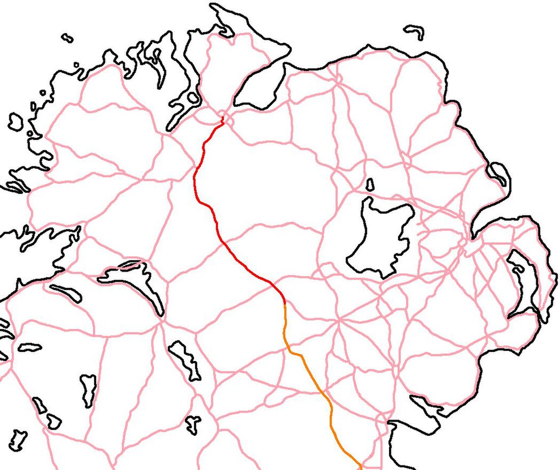
1- A5 Western Transport Corridor — Rank 1
Why it ranks first
The A5 remains Northern Ireland’s most dangerous strategic route, with a long history of fatal and serious head-on collisions. Narrow single carriageway, high HGV levels, inconsistent alignment and poor verges create the most severe risk profile of any major NI road.
Indicative cost: ~£1.6bn
Safety justification: Exceptional
Gossip:
- “Most dangerous road in Northern Ireland.”
- “Everyone out here knows someone hurt on the A5.”
- “If this was in Belfast it’d be finished years ago.”
Verdict:
The single highest-priority safety scheme in NI.
2- A1 Junctions Phase 2 — Rank 2
Why it ranks second
The A1 between Hillsborough and Loughbrickland still contains right-turn gap junctions across 70mph traffic — almost unheard-of in a modern dual carriageway. These junctions have produced repeated fatal crashes.
Indicative cost: £120–130m
Safety justification: Exceptional
Gossip:
- “Terrifying — people crossing a 70mph dual.”
- “Why hasn’t this been done already?”
- “The A1 is a national embarrassment.”
Verdict:
The most dangerous dual carriageway layout in NI; fixing it saves lives immediately.
TIER 2 — TOWN-CENTRE SAFETY RELEASE VALVES
(Bypasses that remove dangerous traffic mixes)
3 – A24 Ballynahinch Bypass — Rank 3
Safety problem
Heavy through-traffic and HGVs squeeze through a small town centre heavily used by pedestrians. Stop-start congestion creates high rear-end and turning-conflict risk.
Indicative cost: £50–60m
Gossip:
- “A car park every Saturday.”
- “Not safe for schoolchildren on the footpaths.”
- “The town is bursting.”
Verdict:
Large safety improvement per pound: short road, major risk removal.
4- A4 Enniskillen Southern Bypass — Rank 4
Safety problem
Strategic A4 east–west traffic is funnelled through a constrained, pedestrian-heavy town with tourists, buses, and turning vehicles.
Indicative cost: £30–36m
Gossip:
- “Summer traffic is chaos.”
- “Town centre shouldn’t be a trunk road.”
- “HGVs and pedestrians don’t mix.”
Verdict:
Matches Ballynahinch logic: strong, cost-effective safety benefit.
TIER 3 — STRUCTURAL SAFETY, RESILIENCE & EXPOSURE
(Not high crash counts — but major systemic risk reduction)
5- Strangford Lough Fixed Link — Rank 5
Safety problem
This isn’t a high-collision corridor — it’s a structurally unsafe system:
- Complete reliance on a tidal, weather-sensitive ferry
- Frequent suspensions causing 40–50 mile diversions
- Reduced emergency access reliability (ambulance/fire services dependent on crossing availability)
- Maritime deck operations, ramps and loading risks
- High rural-road exposure during outages
Indicative cost: conceptually £200–300m based on similar-span bridges
Gossip:
- “Ambulances shouldn’t depend on the tide.”
- “One storm and you’re stranded.”
- “Great ferry — until you urgently need to travel.”
Verdict:
A fixed link provides a system-wide safety improvement, eliminating maritime risk and improving emergency response for tens of thousands of people.
TIER 4 — HEAVY ROUTE + URBAN CONFLICT (Moderate Safety Risk)
6- Newry Southern Relief Road — Rank 6
Safety problem
Port HGV traffic (Warrenpoint) currently passes through urban and pedestrian areas, producing conflict between freight and vulnerable road users.
Indicative cost: £110–130m
Gossip:
- “Lorries shouldn’t be in the town centre.”
- “The canal stretch feels unsafe.”
- “Newry deserves a proper bypass.”
Verdict:
Solid safety justification, especially for HGV/pedestrian conflict.
7- Ballybofey–Stranorlar Bypass (Donegal) — Rank 7
Safety problem
Two linked towns with a national HGV route running down the main street: pedestrian conflict, unpredictable crossings, and steady minor-to-moderate collisions.
Indicative cost: €50–90m
Gossip:
- “A national road through two towns is madness.”
- “You’re never sure where pedestrians appear.”
Verdict:
Strong safety logic, though outside NI jurisdiction.
TIER 5 — RURAL OVERTAKING / FRUSTRATION RISK
8- A26 Ballymoney–Coleraine Dualling — Rank 8
Safety problem
Platooning, slow tourist traffic, agricultural vehicles → risky overtakes and seasonal collision spikes.
Indicative cost: Historic £35m (modern cost higher)
Gossip:
- “Crazy overtakes in July.”
- “The road goes from 60mph to 25mph and back again.”
Verdict:
Good corridor upgrade; mid-tier safety impact.
9- A26 Nutt’s Corner–Moira 2+1 — Rank 9
Safety problem
Airport shift-changes, commuter pressure, HGVs and buses on a rural S2 with few safe overtaking points.
Indicative cost: ~£15m (2006 baseline)
Gossip:
- “Shift time = dangerous road.”
- “You’re stuck behind artics for miles.”
Verdict:
Meaningful rural safety upgrade, but not a crisis corridor.
10- A3 Portadown–Richhill Dualling — Rank 10
Safety problem
Typical commuter congestion with frustration overtaking. Some risk reduction from dualling, but it is not a severe-collision corridor.
Indicative cost: £20–30m (historic)
Gossip:
- “A nuisance, not a killer.”
- “Needs work but not urgent.”
Verdict:
Valid upgrade — but low-to-medium safety return.
TIER 6 — LOW DIRECT SAFETY VALUE (Mainly Capacity Schemes)
11- York Street Interchange — Rank 11
Safety problem
Huge volumes, but mostly low-speed shunts and lane-change bumps, not life-threatening collisions.
Indicative cost: originally £120–165m; modern ~£250m+
Gossip:
- “It makes you late, not dead.”
- “Fix A5 before spending a fortune on this.”
Verdict:
Safety uplift modest for the price. Primarily congestion relief.
12- A55 Knock Road Widening — Rank 12 (last)
Safety problem
Urban distributor road with congestion but no uniquely dangerous geometry. Accident patterns comparable to any busy city route.
Indicative cost: ~£12–16m (historic)
Gossip:
- “Busy, not dangerous.”
- “A traffic scheme, not a safety scheme.”
Verdict:
Bottom of the safety priority list.
Final Ranking (Safety Only)
- A5 Western Transport Corridor
- A1 Junctions Phase 2
- A24 Ballynahinch Bypass
- A4 Enniskillen Southern Bypass
- Strangford Lough Fixed Link
- Newry Southern Relief Road
- Ballybofey–Stranorlar Bypass
- A26 Ballymoney–Coleraine Dualling
- A26 Nutt’s Corner–Moira 2+1
- A3 Portadown–Richhill Dualling
- York Street Interchange
- A55 Knock Road Widening